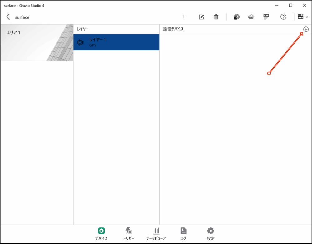
In Gravio, GPS devices (GPS devices available via COM port connection) can be used as data input devices as a single layer. Please refer to this link for GPS devices that have been confirmed to work.
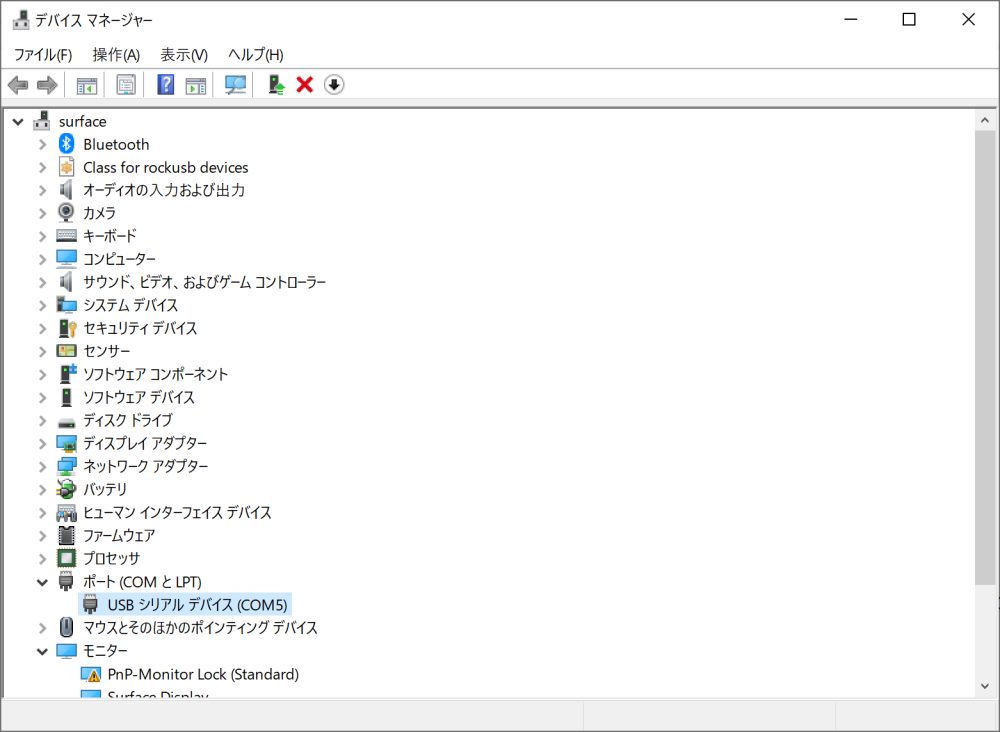
For Windows 10, confirm that COMx (in this case COM5) is displayed in the Device Manager to verify the GPS device connection.
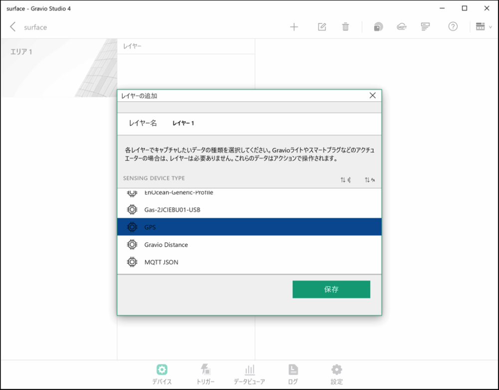
In this example, we explain how to get GPS data using a VKLSVAN VK172 G-MOUSE USB GPS device.
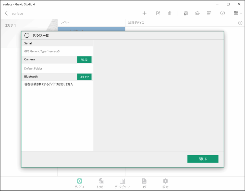
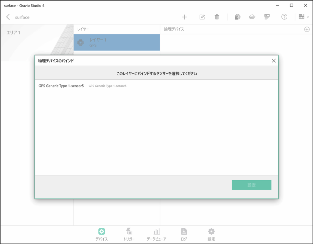
Note: If GPS Generic Type is not displayed, check that the GPS device is correctly connected to the USB port and restart HubKit.
If GPS Generic Type is displayed, you’re done. Close the dialog.
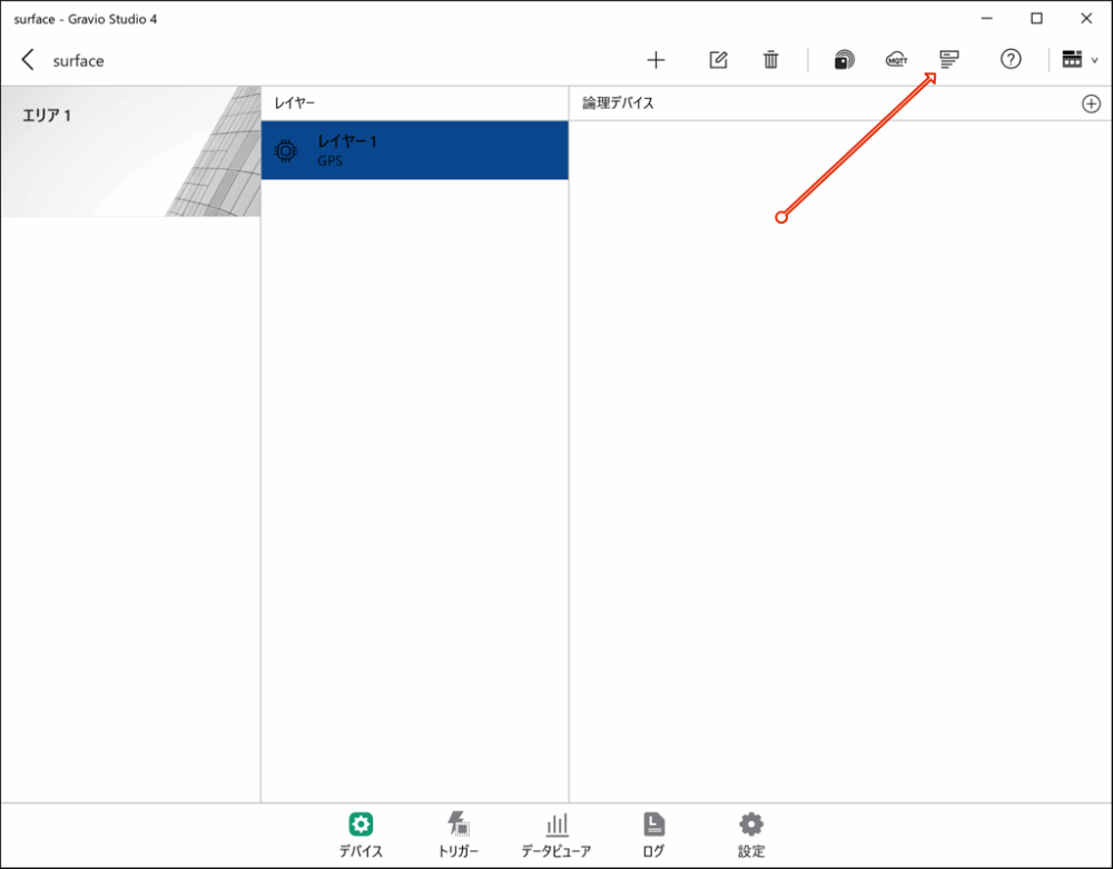
When you’ve finished configuring, close this screen.
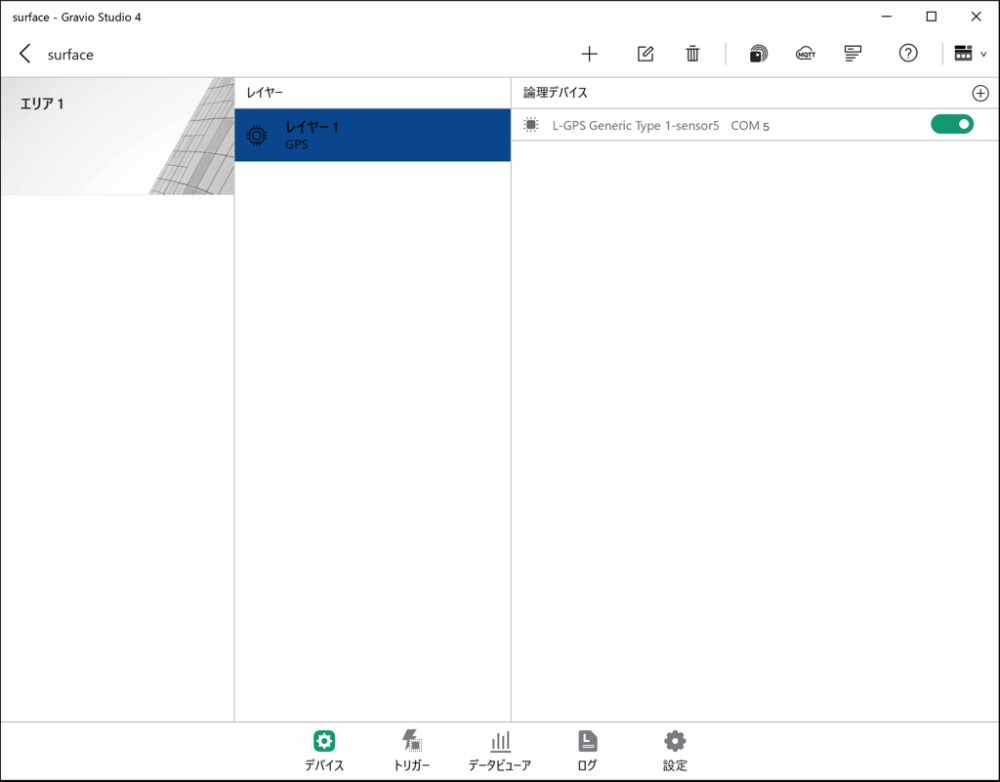
GPS data reception will start automatically from the GPS device.
Received Data: The data that can be received from the GPS set in the layer is as follows. You can check it in the Data Viewer.
| Data | Description |
|---|---|
| Course | Device moving direction (value from 0 degrees north clockwise to 359.9 degrees) -1 if direction is invalid |
| SpeedKm | Device moving speed (km/h) |
| SpeedKn | Device moving speed (knots) |
| LatitudeDeg | Latitude (DEG format) |
| LongitudeDeg | Longitude (DEG format) |
| Latitude | Latitude (DMM format) |
| Longitude | Longitude (DMM format) |
| LatitudeDir | Latitude direction (N or S) |
| LongitudeDir | Longitude direction (E or W) |
DEG format: Data format ddd.ddd, where ddd.ddd is expressed in degrees with decimal point. This is the notation used in Google Maps.
DMM format: Data format dddmm.mmmm, where ddd is degrees and mm.mmmm is minutes in sexagesimal system, so 60 minutes equals 1 degree. The ddd.dddd degree notation used in Google Maps can be calculated as (degrees + minutes/60).